Perdido Key -- May 2009
Photography by Doug McMullin
Download all the below pictures in one ZIP file now.
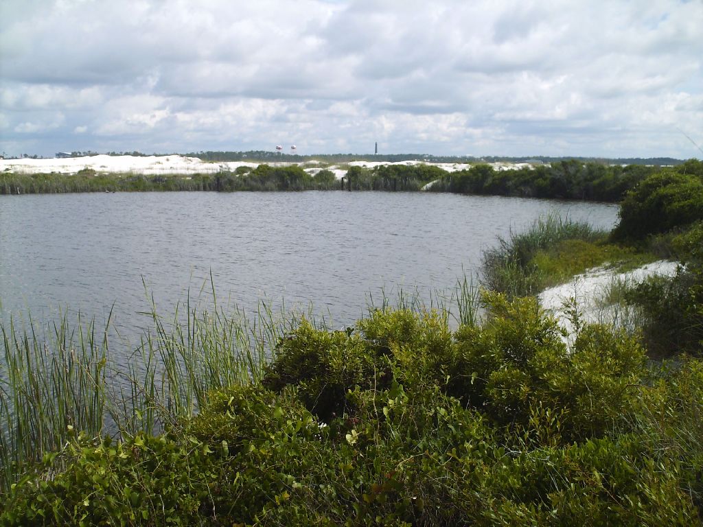
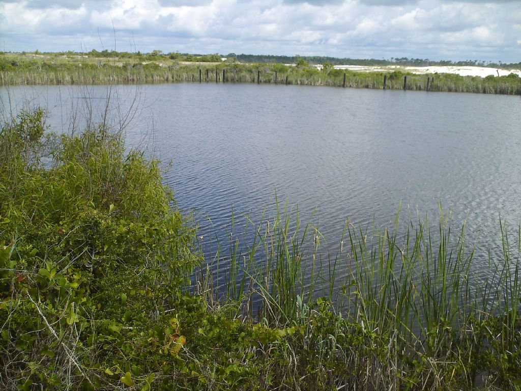
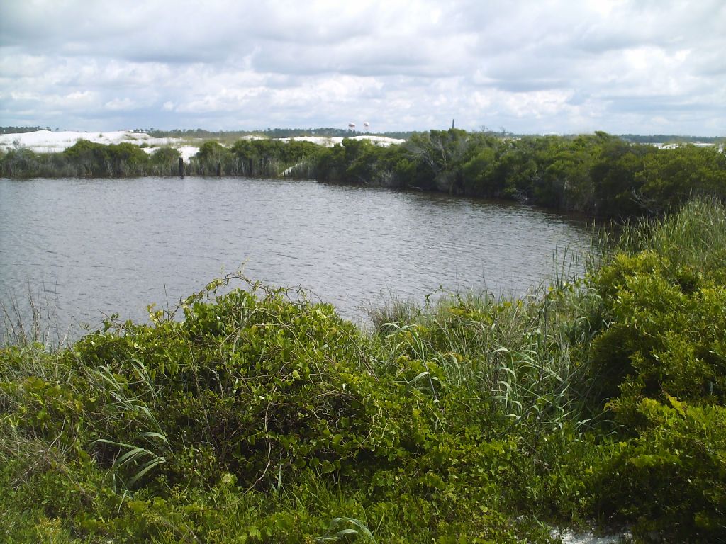
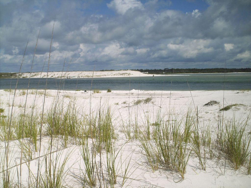
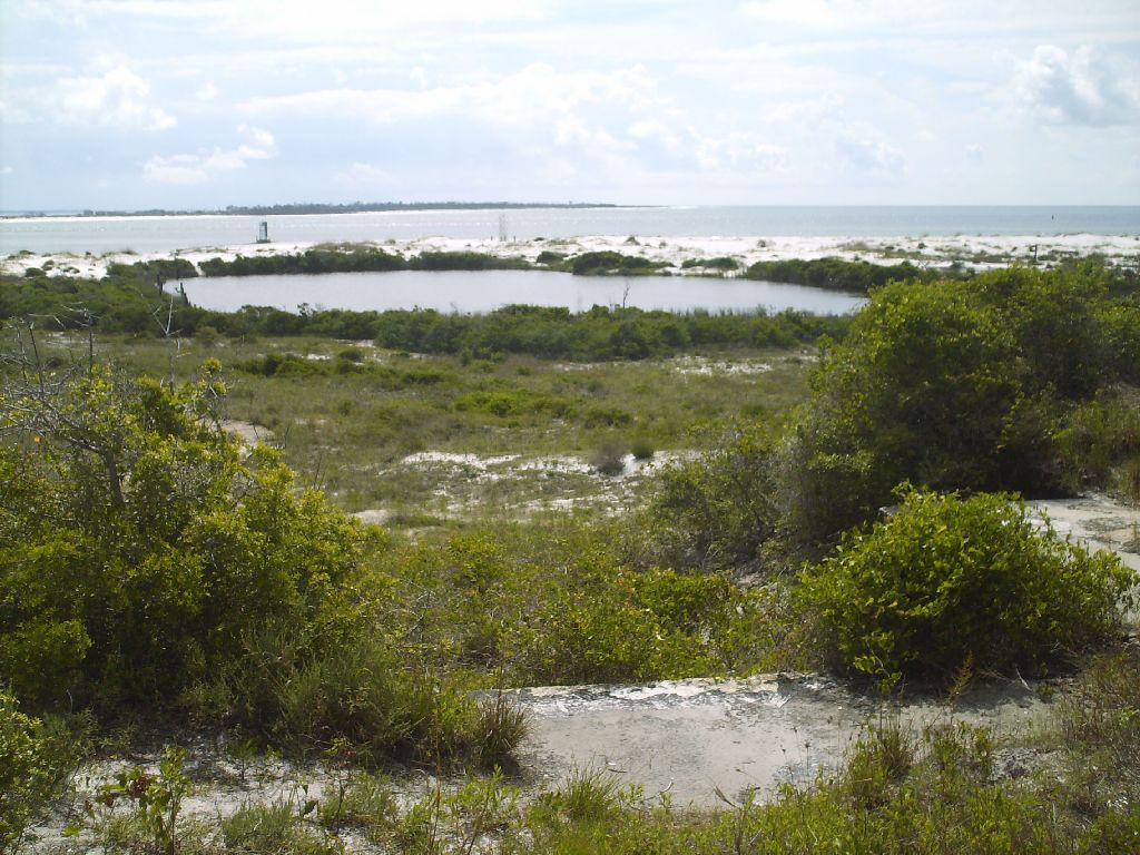
This is a fresh water / brackish pond at the end of Perdido Key Island. The Pensacola lighthouse is seen in the distance, on the mainland.
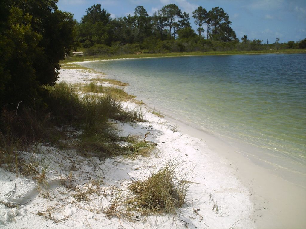
The very eastern tip of Perdido Key Island, with another island seen between here and the mainland -- Pensacola, Florida.
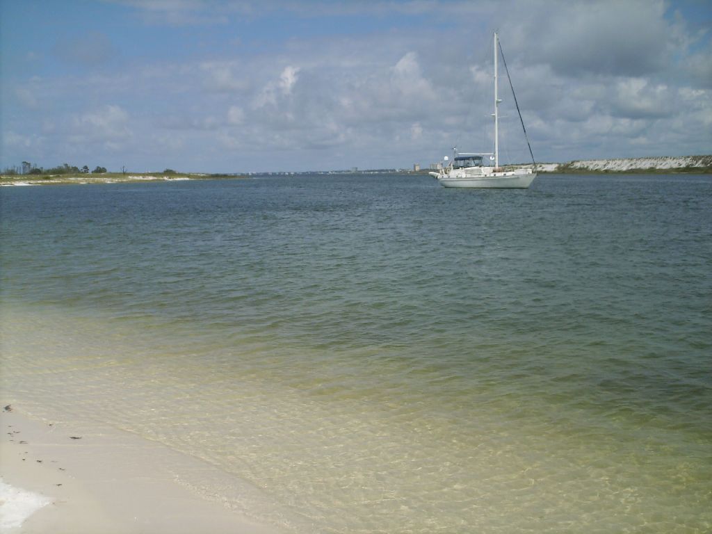
A sailboat drifts in the harbor between Perdido Key Island (left), mainland Florida (Pensacola, in the far distance), and the mid island (to the right). See the arial view of these in the photos later on this page.
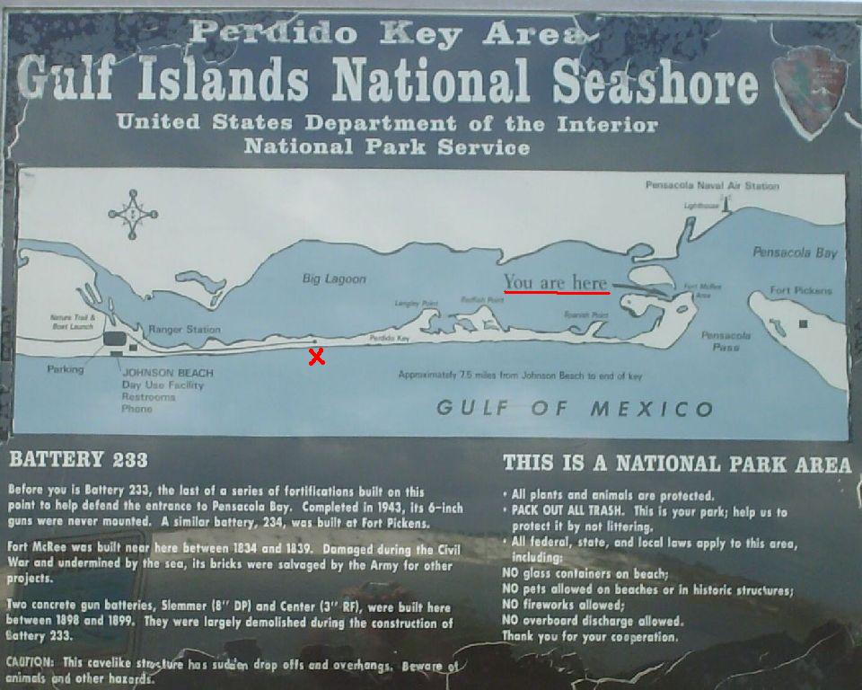
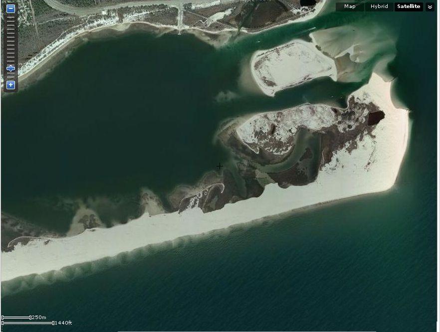
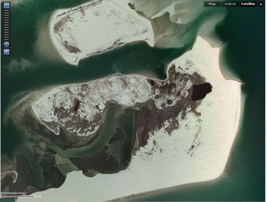
As you read below, this is the site of Fort McRee, built between 1834 and 1839. Notice at the "You are Here" mark, you see the pond (shown above) as well as the mid-island.
I walked about 12 miles on the beach that day, to and from my starting point, marked in red. Note that Fort Pickens is seen on the next island to the east: Santa Rosa Island.
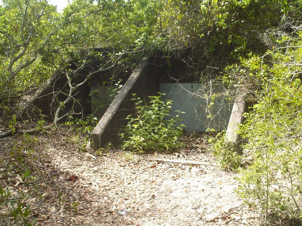
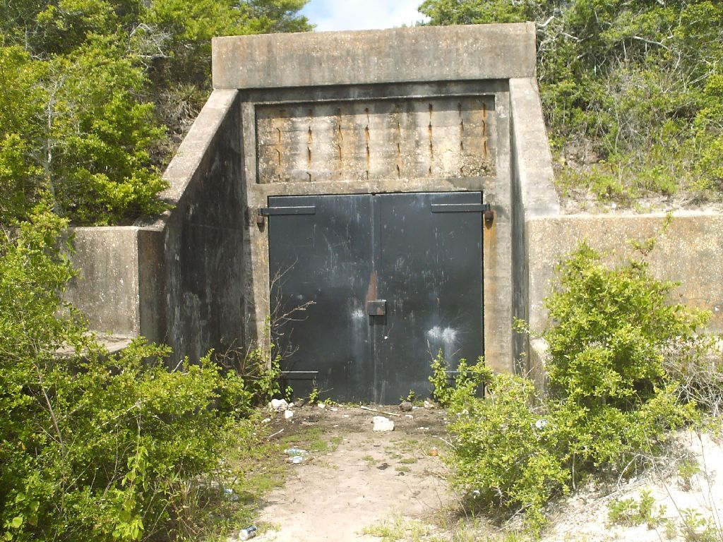
Fort McRee / Battery 233 is completely boarded shut.
The pond and tip of Perdido Key Island. In the distance is Santa Rosa Island.
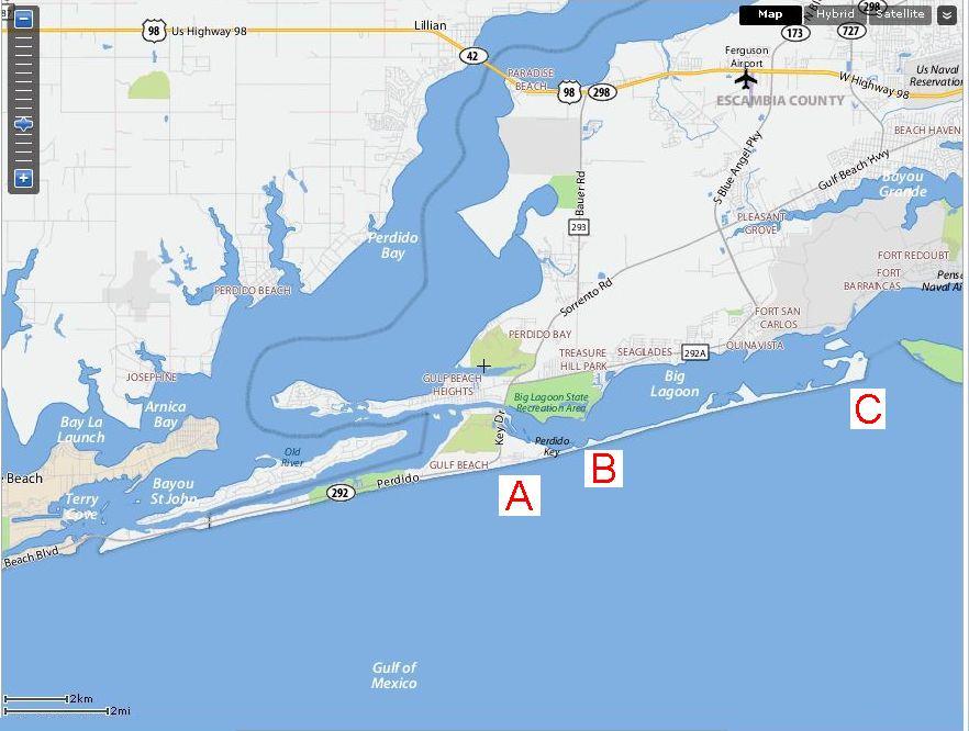
Perdido Key Island -- east of Gulf Shores, Alabama, and just west of Pensacola, Florida.
"A" -- the condo where we stayed. About 3/4 mile away is the Gulf Shores National Park.
"B" -- a road inside the National Park leads to here, and that's as far as you can drive.
"C" -- the eastern tip of the island, about 5 miles from "B".
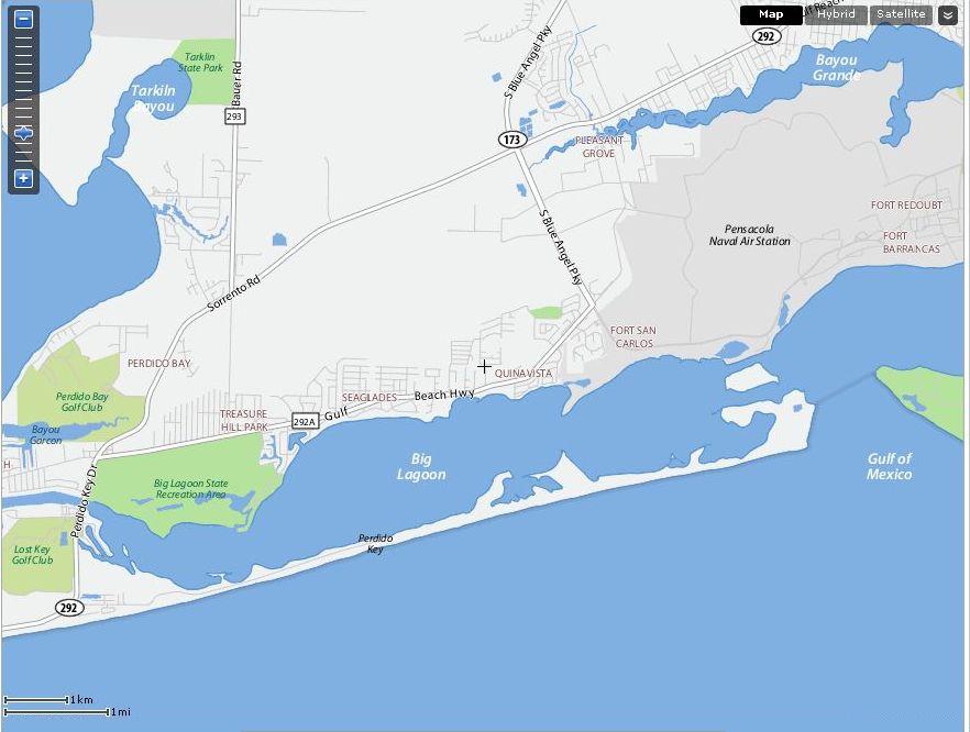
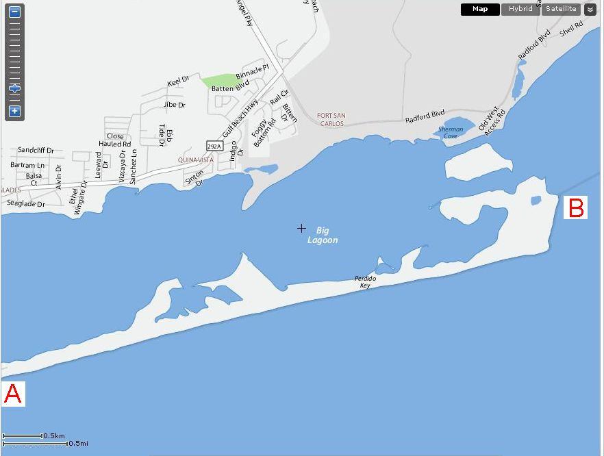
"A" -- the end of the road in the National Park. This was my starting point.
"B" -- the tip of Perdido Key Island, about 5 miles away.
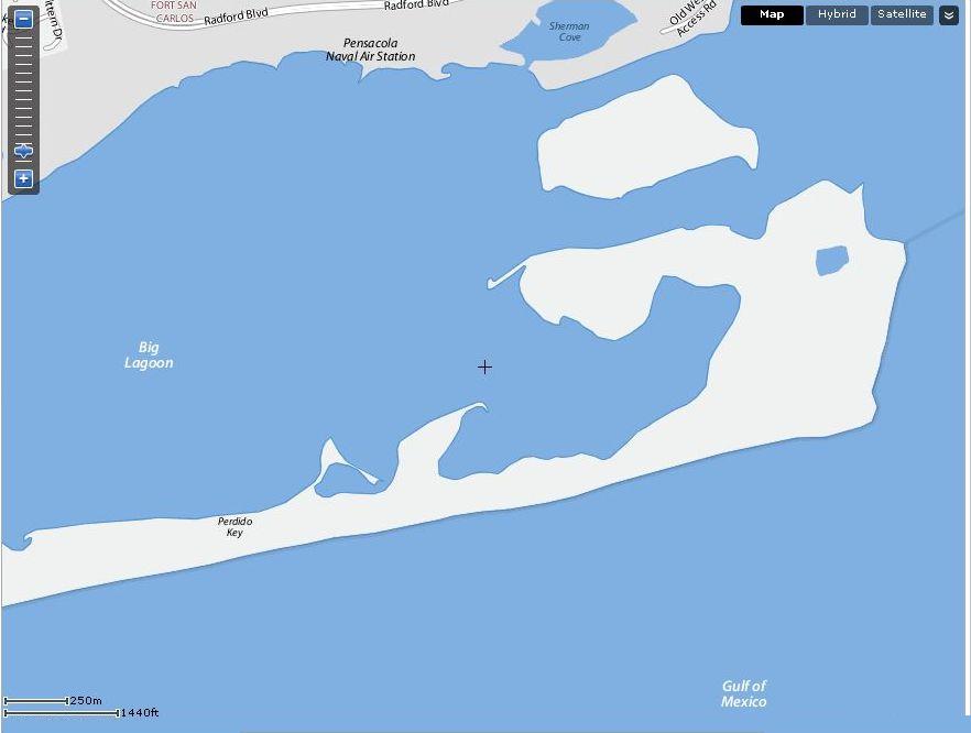
In this satalite image, you can see the pond (shown above) and the mid island (also shown above).
Doug's Website Home Page